Drone Design and Manufacturing
We design and manufacture aerial (UAV), ground (UGV), and surface-water (USV) drones with Indunav IA navigation and supervised or autonomous operation from precise initial instructions.
Platforms for air, land, and water
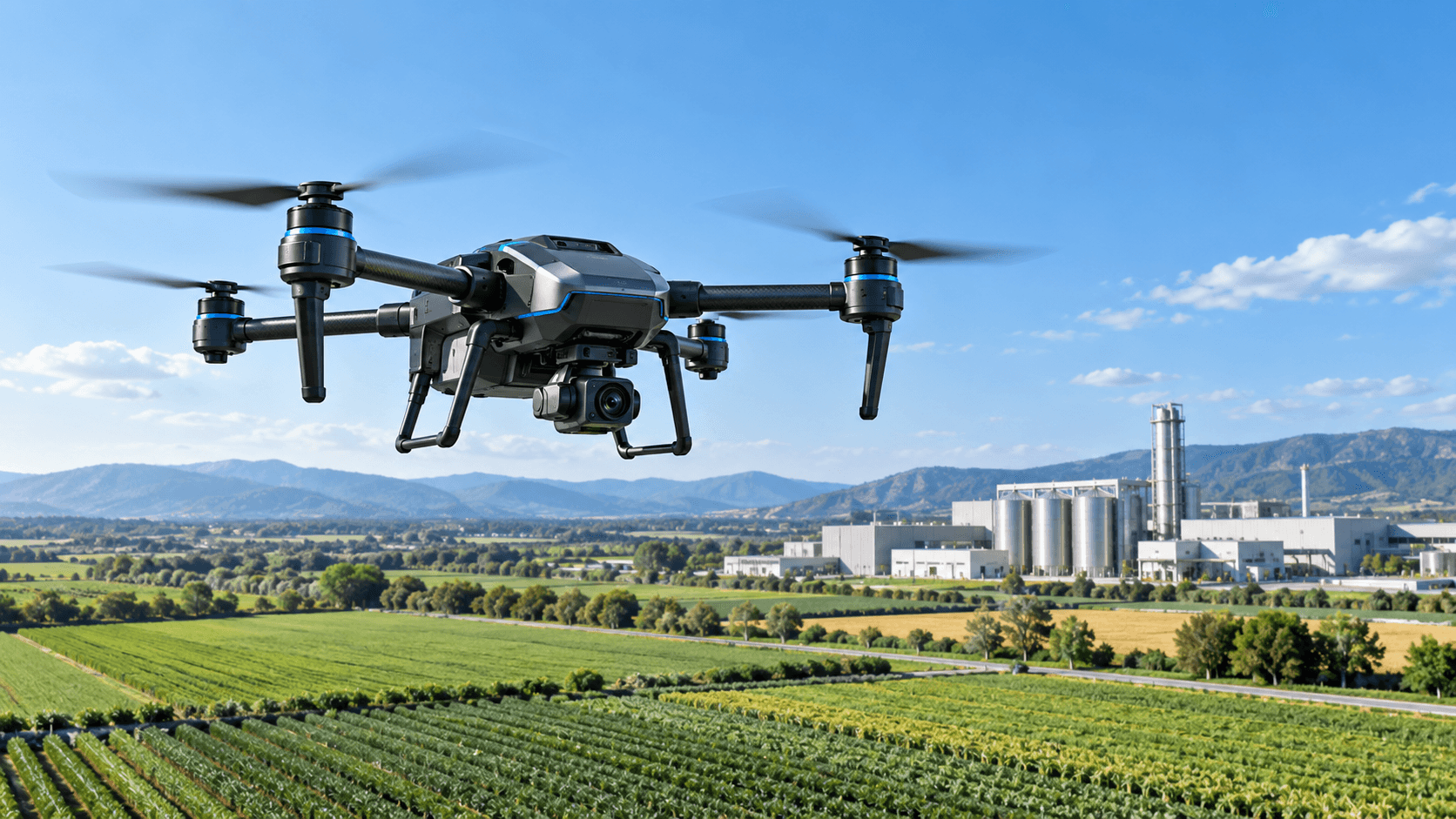
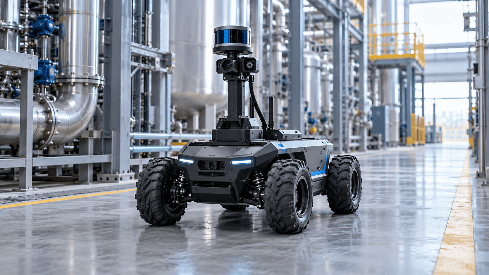
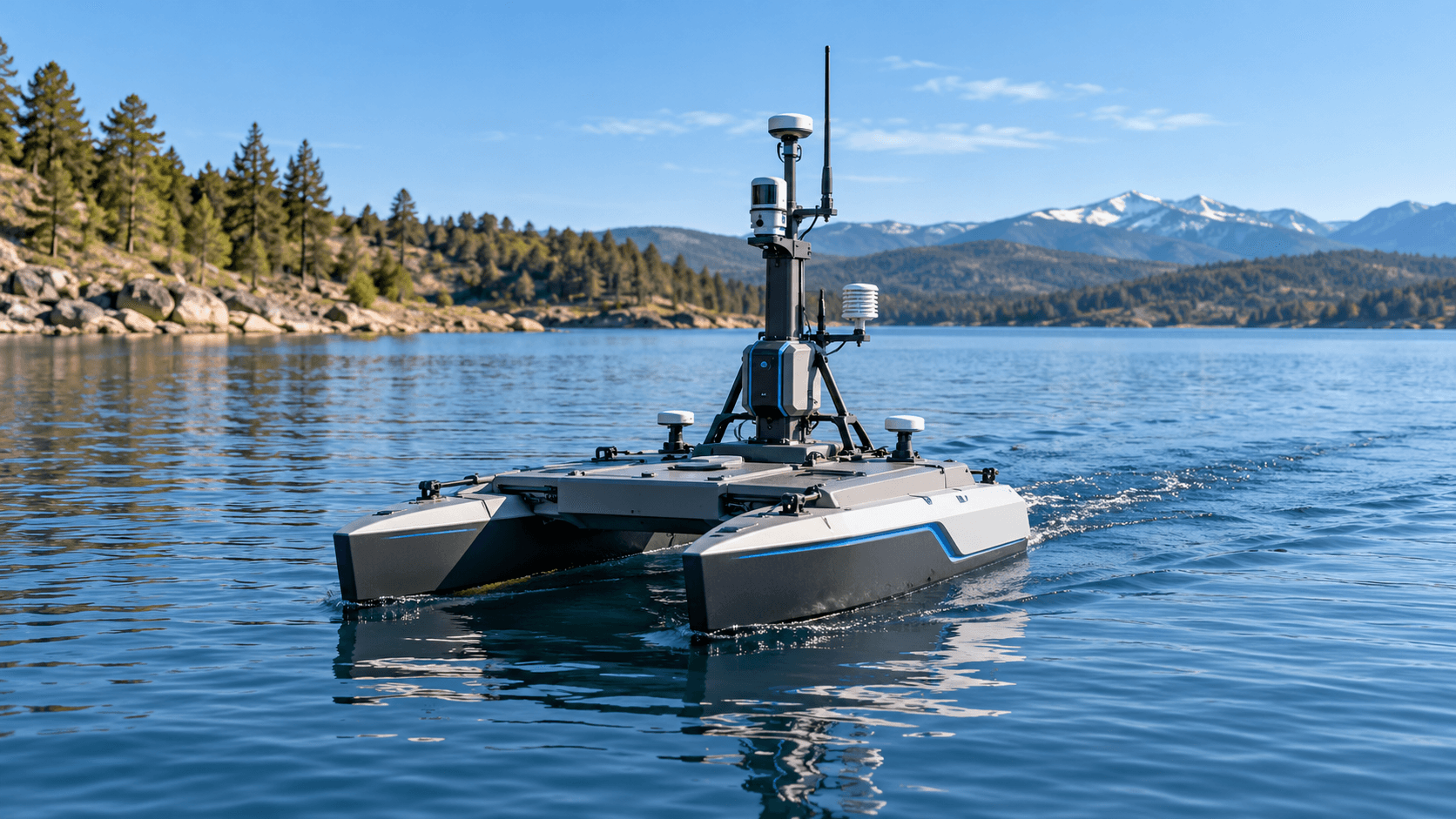
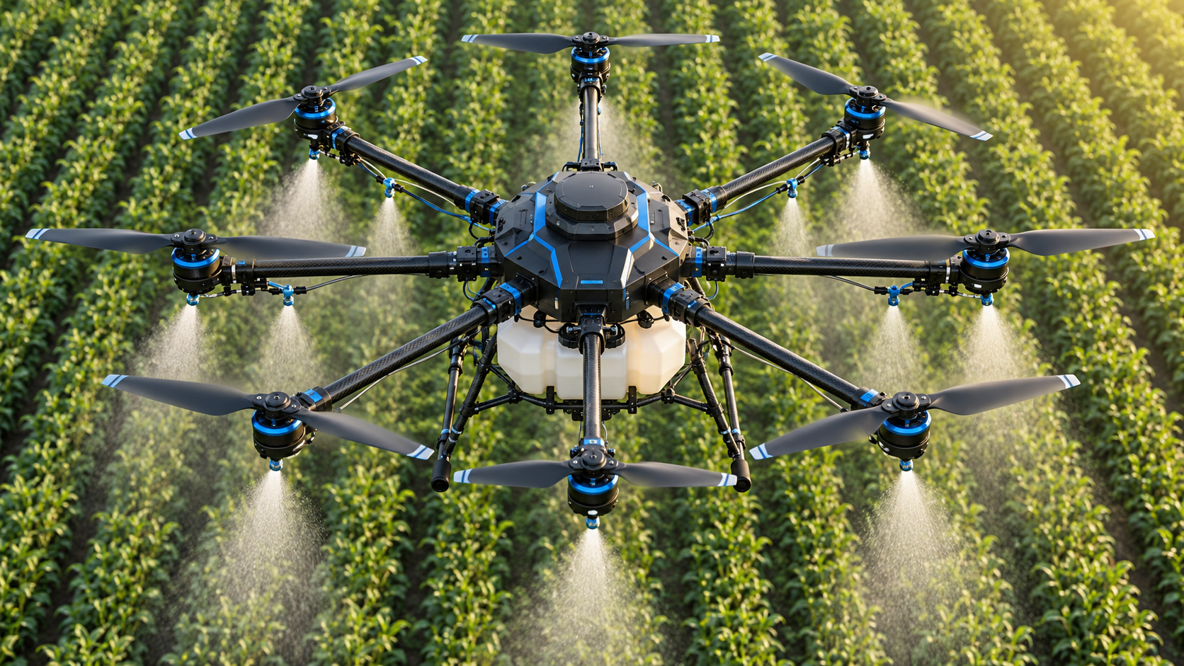
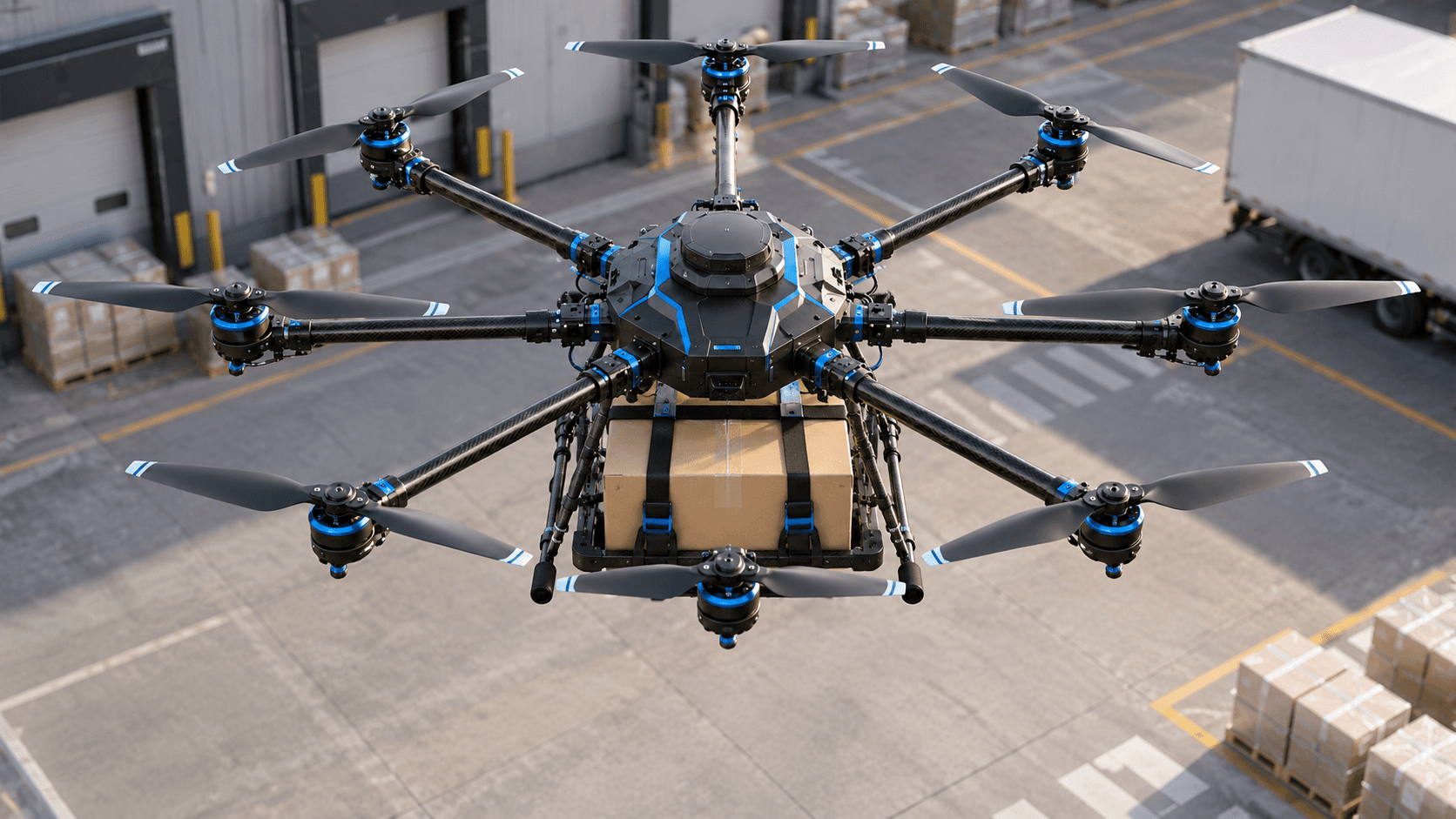
AI-generated concept illustrations. Final designs and capabilities are defined for each project.
We design and manufacture drone platforms around the mission, operating environment, and integration needs of each project.
| Drone type | Acronym | Environment | Example uses |
|---|---|---|---|
| Aerial | UAV (Unmanned Aerial Vehicle) | Air | Aerial photography, deliveries, surveillance, and precision agriculture. |
| Ground | UGV (Unmanned Ground Vehicle) | Land | Terrain exploration, industrial plant supervision, and logistics. |
| Surface-water | USV (Unmanned Surface Vehicle) | Water (surface) | Environmental monitoring and oceanographic research. |
Indunav IA navigation and operation
We integrate Indunav IA for mission navigation and operation from precise initial instructions: objectives, routes, work areas, operating limits, and completion criteria.
- Supervised operation: An operator oversees the mission and intervenes when required.
- Autonomous operation: The drone executes the defined mission within the agreed operating limits.
From design to mission definition
We define requirements, design and manufacture the platform, integrate Indunav IA, and validate the mission for the intended environment. The scope of autonomy and supervision is defined for each project; operating conditions and applicable requirements must be evaluated before deployment.
Common use cases
- Aerial photography, deliveries, and surveillance
- Precision agriculture
- Terrain exploration and industrial supervision
- Ground logistics
- Environmental monitoring and oceanographic research